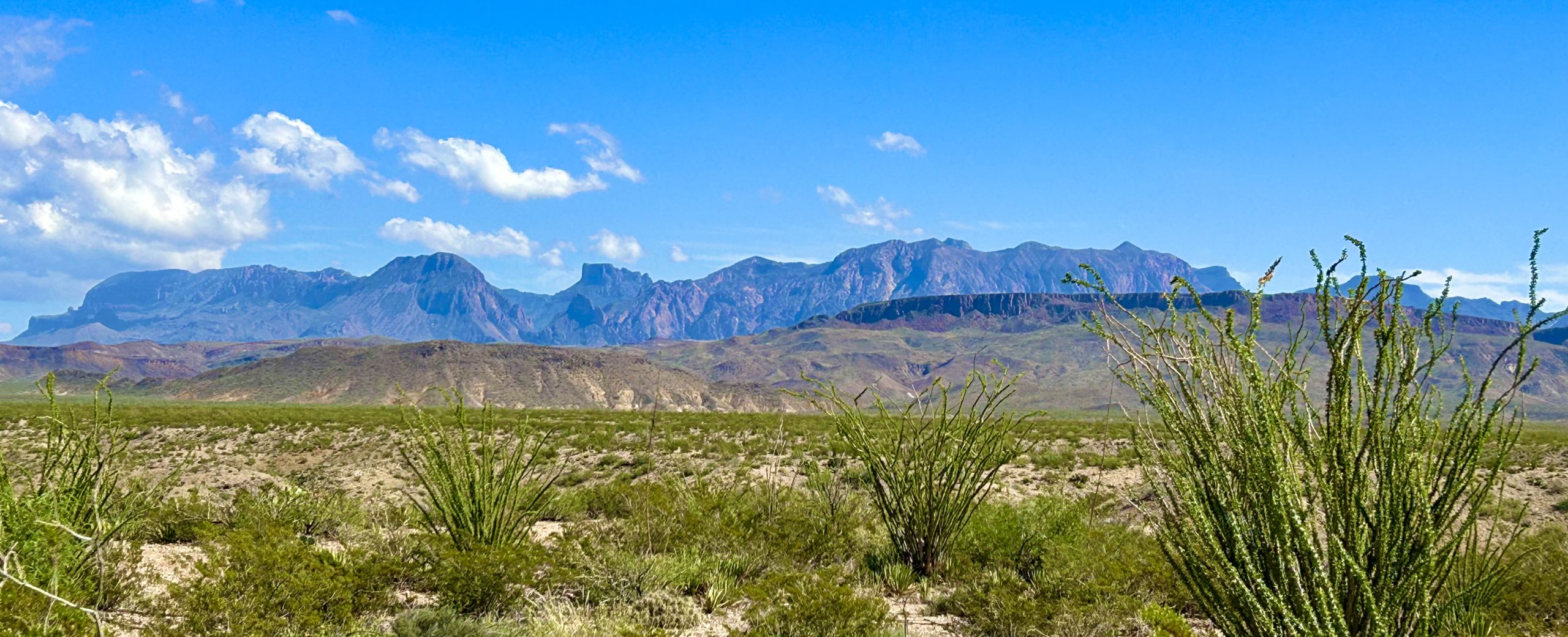
“It is a heaven or a hell, a land of serene beauty or barren ugliness, a place of soothing solitude or haunting loneliness…The Big Bend allows no winners; there are only survivors.”
-Kenneth Baxter Ragsdale, noted Big Bend Historian
Big Bend Ranch State Park, Texas

At over 300,000 acres, Big Bend Ranch State Park is the “little” sister to the larger Big Bend National Park, yet it is the largest state park in Texas. In 1958 it was touted as one of the 15 largest ranches in the U.S., and described as half the size of Rhode Island! It’s barren, rugged remoteness earned it the nickname El Deshabitado, or “The Uninhabited”. It assuredly lives up to it’s nickname, even as a State Park! The only “interior” roads are dirt, passable by most vehicles, yet still deterring many. Nevertheless, for those who seek a more remote adventure, there are a number of hiking trails, steep canyons with some amazing views of the Rio Grande River, as well as excellent star gazing since the park is within the Greater Big Bend International Dark Sky Reserve.
Along it’s southwestern border, the park adjoins the mighty Rio Grande River, and the U.S.-Mexico border. Len G. “Tuffy” McCormick, during his ownership of the property, had the forethought to provide the Texas Highway Department with an easement for an access road to the river. The result is the scenic Camino del Rio, a twisting, hilly rollercoaster drive that provides peek-a-boo views of the river amongst the craggy terrain. Fun! Especially on a motorcycle! With the vastness of the park and the need to dodge incoming weather systems, we opted to check out the sights and activities abutting the mighty river. So, first, let’s talk about that river!
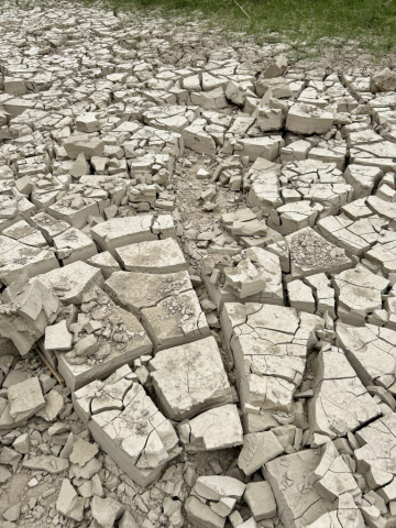
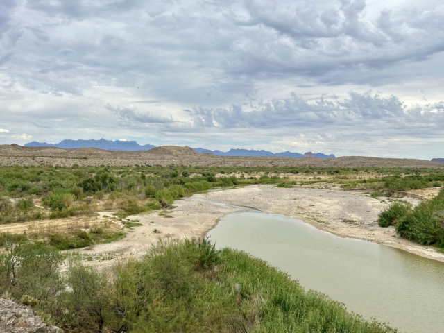
The once powerful cascade of the Rio Grande River is gone. Today it is considerably tamer, and in some locations, no longer even flows along its channel! The headwaters originate in the San Juan Mountains in Colorado (near our home!), and decades of drought throughout southwestern Colorado, New Mexico and western Texas has drastically reduced the overall watershed that pours into the Rio Grande drainage basin. It is further exacerbated by excessive irrigation diversions and damming, adversely impacting the overall health and flow of this river to such an extent that in 2001 and 2002, the waters of the Rio Grande did not even make it to the Gulf of Mexico! Certainly levels differ depending upon the season, however you’ll want to curb your expectations; if you’re envisioning viewing a rushing, roaring spectacle, it’s better for you to conjure up images of a gentle, babbling waterway. Honestly, for us, it was more elusive than we had expected.
For all galleries below, click on a photo to view an enlarged version and use arrows for a slideshow
(May not format larger on mobile devices)
HooDoos Trail
We decided to begin our explorations by riding to the furthest northwest feature, working our way back toward camp. This brought us to the HooDoos Trail, a quick easy one that, we thought, would bring us right down to the rivers edge. Starting off with the scenic overlook provided the best opportunity for photos, taking in the overall vista of the HooDoos perched along the river’s edge and the formidable, but gentle rolling mountains surrounding us. From there the trail winds gradually down to a dry portion of the riverbed, where we surely thought we’d come toe-to-toe with the river. Instead, we were stymied by a wall of healthy vegetation that we weren’t interested in bushwhacking through.
Nonetheless, we enjoyed stretching our legs, reveling in the quiet solitude that this location provided.


Access the interactive Google Map and select the camera icons to view our photos from our hike. You can even change the “Base Map” to Satellite and get a real sense of our adventure!

Our Hiking Stats:

Elsewhere Along the Bank of the Rio Grande…
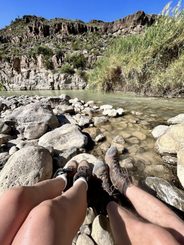
Feeling cheated out of the opportunity to commune with the river, during our drive to the next location, we quickly hit the brakes on the trike, swerving into the very next promising opportunity; not a hiking trail, rather a boat put-in area. We tromped on down to what had to be, during normal flow levels, the middle of the river, and sat down upon the exposed boulders. With the warnings of the $5,000 fine for “crossing the border” in our minds, and the fact that we were literally straddling it where we sat, we looked at the opposite river bank (Mexico) and Curtis noted that it was literally only 11-feet away. Alas, we had no desire to brave the mere feet of water, or the Chihuahuan desert to “make a break for it”, opting instead to get back on our trike to continue our expedition down the road.
Closed Canyon Trail

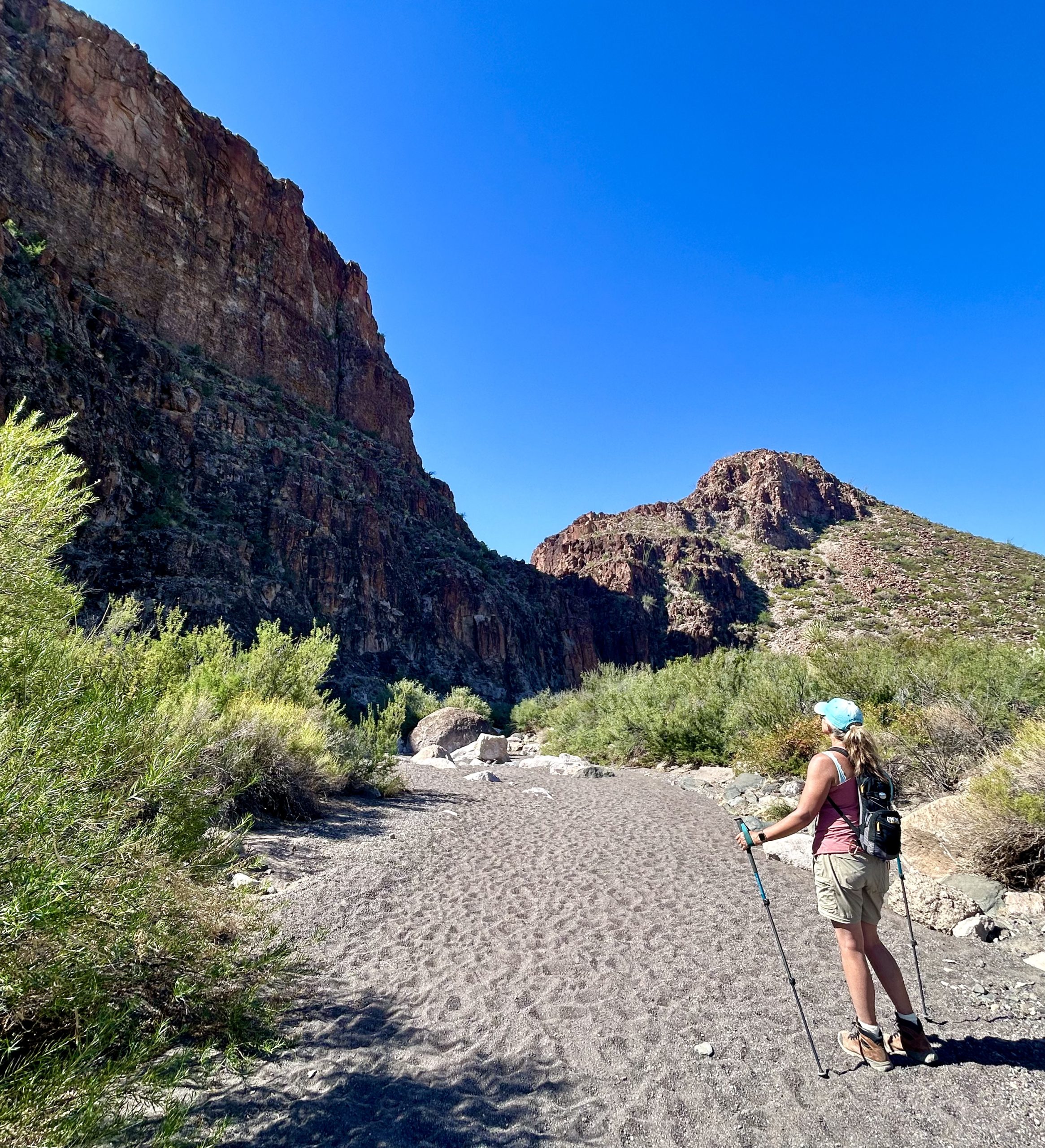
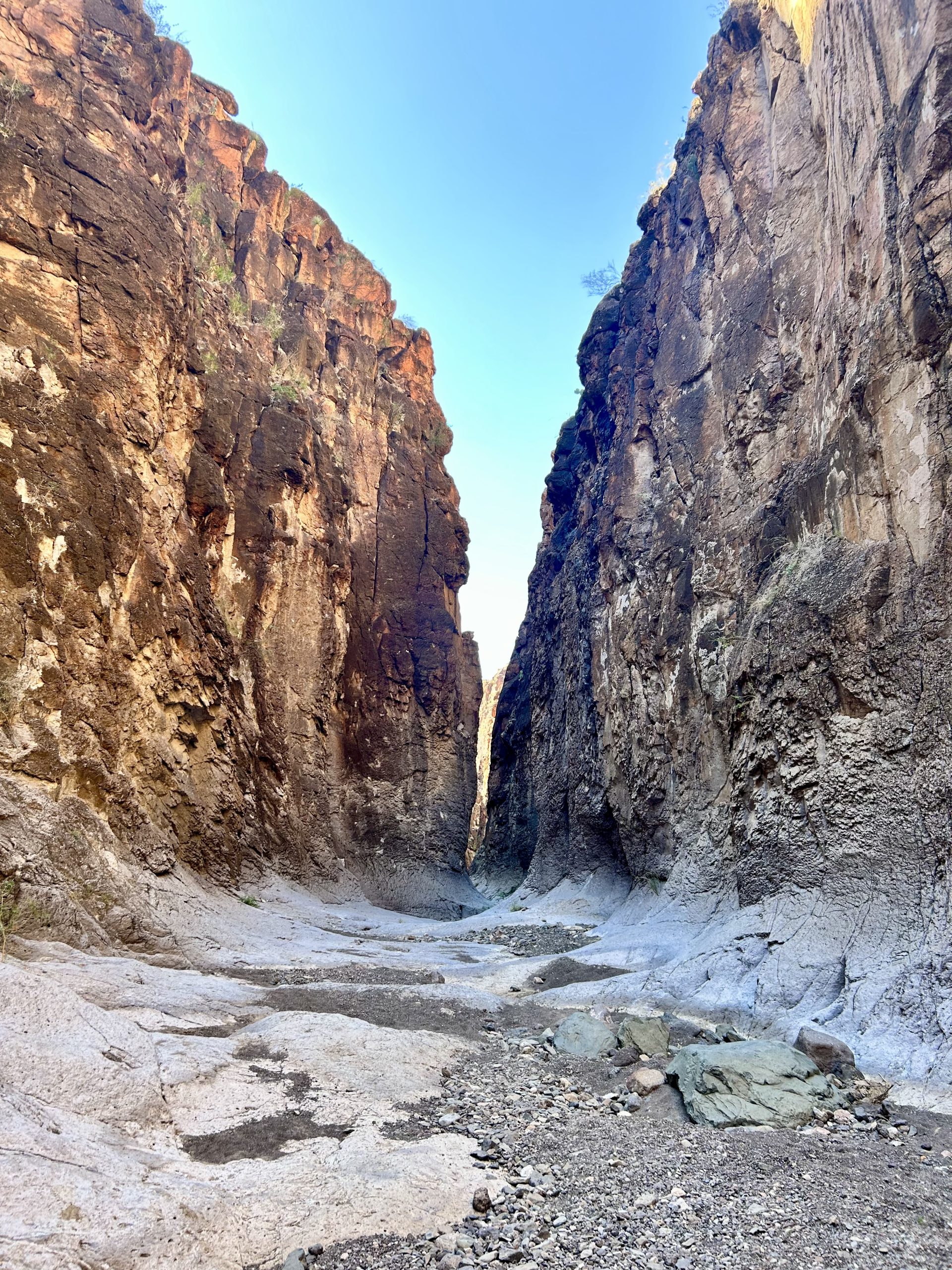
The road diverged from the river’s edge as imposing cliff walls rose up on the southwestern side, giving an indication that we’d arrived at our next destination, a trail in a slot canyon known as Closed Canyon. It’s a small, strikingly beautiful canyon that is deceptively serene. Walking up to the trailhead, it is easy to think that it won’t be difficult at all…until you read the “Staying Safe” notification that the Park has posted! Forging ahead, we had our doubts about any difficulties, the colors and undulations of the massive narrowing walls lulled us into wonderment. It soon gave way to pondering the words “massive”, “narrowing” and “walls” and what that might mean in, say, a rain squall. Can you say “quickly filling turbulent bathtub cum water jet”? No sooner did this thought settle in when we rounded a corner finding six other hikers, seemingly taking a break. Upon closer look, however, they were discussing a drop-off that, while everyone agreed they could scamper down, the issue was actually ‘how do you get BACK OUT?’. Water erosion has smoothed much of the surrounding rock, lessening the possibility for foot- or handholds, which is made even more difficult depending upon one’s footwear (we’re still amazed at some of the shoes we see some people wearing along hiking trails).
After assessing the viabilities, Laura took the initiative to show everyone three different ways to get down, and three different ways to get back up (Thanks Dad for the rock climbing skills!!). After these “demonstrations” it took all of two seconds for our new friends to decide that they would NOT be continuing with their hike. The extremely smooth sides of the canyon walls probably had something to do with their decision! And while Curtis thought he was off the hook, there was no such luck for him, so he slid down the spillway under Laura’s tutelage. This was all in vain though, as the continuously narrowing, smooth walls, coupled with larger and deeper pockets of water, finally stopped our progress only a short distance further in. Had we brought shoes for the water, we could’ve continued (see note about shoes above), but we had to remember that, while getting down might be possible, the way BACK OUT may not be. Thwarted again from getting to the Rio Grande River!

When you’re high on the fascinations of Mother Nature and her sculptures, it is hard to remember that complacency has no place in the wilds of nature. But we were smacked back into reality when Curtis came up short on jumping over one of the puddles, slamming his knee into the rock. A sure sign that it was the right move to turn around. The other hikers were loitering at the picnic shelter and were relieved to find out that they didn’t miss anything. We chatted and they took photo ops on our trike. Finally we said adieu (they were from Belgium after all), and got underway to the next adventure.
Access the interactive Google Map and select the camera icons to view our photos from our hike. You can even change the “Base Map” to Satellite and get a real sense of our adventure!


Our Hiking Stats:

America’s Love Affair with Westerns
Just off the road, and only five miles from Lajitas, Texas, is a “ghost town” that are remnants of bygone Hollywood glory days known as the Contrabando Movie Set. Originally built in 1985 for the movie “Uphill All the Way”, it has been the setting for eight or nine movies. While there’s not a lot to it anymore, it’s interesting and one of the easiest walks to get to the tranquility of the Rio’s banks.
And after a hot day’s ride and wanderings in the relentless sun, who wouldn’t want a soak?! Nope, this isn’t where we wade into the ankle deep waters to splash ourselves at this roadside location, while testing the Border Patrol. Instead, we headed “home”…
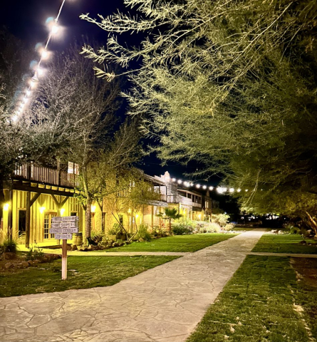
Our Oasis in the Barren Land…Maverick Ranch RV Resort
“I know not where I am heading…Let the road decide…It’s not the destination. It is the glory of the ride.”
-Anonymous
Fitting, however we actually did know where we were going…
“The desert tells a different story every time one ventures into it.”
-Robert Edison Fulton, JR, an American inventor and adventurer. He is known for having traveled around the world on a motorcycle in 1932-33.
Drumroll Please!!

Big Bend National Park is the “Big Daddy” of all parks in Texas! It is absolutely huge, and overwhelming, with tons of choices for incredible hiking trails and some of the best scenic drives in all of western Texas! Luckily in our travels we’d met some great people who’d given good advice on how best to fractionate this beast. There are three distinct regions, the western, central and eastern sections of the park. Each area is unique, offering drastically different experiences which will not disappoint the adventurous traveler or hiker!
Dedicating a day apiece, our first venture was to the central section into the Chisos Mountains Basin. From Maverick Ranch, it was a 20 mile ride to get to the west entrance, passing through the “ghost town” of Terlingua and Study Butte. And when you think the Chihuahuan Desert landscape couldn’t get even more barbarous, it succumbs to ancient volcanic flows and rock, a brown, barren and outwardly dead terrain. Slowly, as we climbed in elevation, into the heart of the caldera, greenery and plant growth take root, breathing life into this area of the country after all! This mountain range of 40-square miles has the bio-diversity typical of a forested area, with the surrounding desert acting similar to an ocean, isolating and maintaining it as a window into past temperate climates. However, the drought and the warmer temperatures of climate change have been injuriously stressing-out and changing this area. Take note; there is a tipping point people.
“Sadly, it’s much easier to create a desert than a forest.”
-James Lovelock, an English independent scientist, environmentalist and futurist
For now, it is a wonder to view and hike.
Interesting fact: the 40-square miles that make up the Chisos Mountains are completely within Big Bend National Park, making it the only mountain range fully contained within a National Park!
The Window View and Window Trail
Again, with so many choices for hiking, we were encouraged by the park personnel to check out the Window View Trail adjacent to the visitors center. It’s a quick paved path providing a glimpse of “The Window” in the distance. There’s a nice bench under a tree where we stopped and looked at each other, catching that tell-tale glimpse in each other’s eye that said, “I want to unravel it’s mystery; you game?”. We were sold! So out came the trekking poles and other paraphernalia from our trike’s little trunk (imagine a clown car), and off we went!

Setting off on the Window Trail, The 5 mile (round trip) hike is both an easy one and a moderate one; easy, because the first leg is a mostly-gentle downhill expedition. The moderate aspect comes into play on the return trip; it’s all uphill! So, just remember this. With mild weather and lots to discover, we took our time sussing out its secrets. From open meadows with sweet aromatic bushes, intriguing volcanic rock formations, sheltering living arcades, encroaching canyon walls, and stairs intertwined with the riverbed, facilitating ease of passage along the smooth rock, it seemed like every corner presented something new.
All revealed at it’s terminus, it was clear that we’d chosen well and were rewarded with one of the most unique scenic vistas of the park! With a crowd, you have to wait in line in order to safely get as close to the edge as one dares. But in this case, a few people can be a boon, as it means they can take pictures of you and your group! Just be weary of the 200-foot drop off behind you.


The return trip didn’t disappoint either as Casa Grande Peak, an extra-caldera vent (volcanic dome) of the Pine Canyon Caldera, towered in the distance as we emerged from the confines of the narrows; a true beacon. Of course, we drank more water on the way back, so plan accordingly, keeping in mind the time of year you are hiking in this area. Perhaps we also should’ve been more cognizant of the omen of the halo around the sun. While beautiful, it foretold of the tremendous rain storm that was in store for us later that night…

Our Hiking Stats:
The Window View Trail

Access the interactive Google Map and select the camera icons to view our photos from our hike. You can even change the “Base Map” to Satellite and get a real sense of our adventure!

Our Hiking Stats:
The Window Trail

Well Deserved Break
DB’s Rustic Iron BBQ with an open air covered patio provided an excellent opportunity to admire the clouds building in the distance…
Day Two…Almost Didn’t Occur…
…Because that morning we accidentally locked ourselves out of our fifth wheel, while we were in our pajamas, nonetheless. Never knew that could happen, but we needed to make sure that the upper latch of our ramp door was truly engaged after the tremendous wind and rain, expecting only to quickly pop outside and pop back in. It was a sobering experience to not only sit in our truck (thank the goddess for digital locks) lamenting the fact that both sets of keys were safe and sound in the fifth wheel (oiy!), but to also wait until the RV office personnel did their morning rounds, only to find out that the nearest locksmith was over 80 miles away. We quickly figured out how to best break into our rig with the least amount of damage. (Still have to fix that…)
The Western Portion
Ross Maxwell Scenic Drive

Little did we know that the previous nights’ rains had also transformed the park, closing off certain areas. Ignorantly, we set out to venture into the western portion taking the Ross Maxwell Scenic Drive which winds it’s way through the entire western side of the park, terminating at the Rio Grande River and the breathtaking Santa Elena Canyon. Luckily, our plans were not affected by any closures…yet.
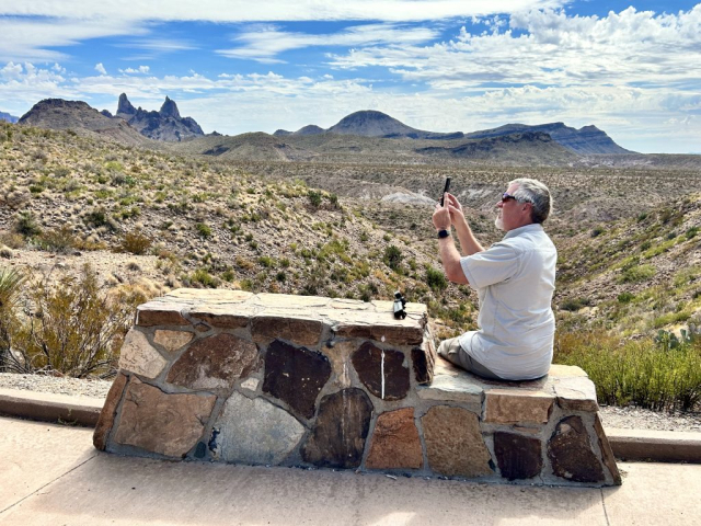
Opportunities were plentiful to pause along the route to stretch our legs, view and photograph the interplay of the long ago tumultuous volcanic activity juxtaposed with the current Chihuahuan Desert. We stopped at Sotol Vista, Mule Ears Overlook, and the Castolon Historic District which includes a small visitor center, and there were several more points of interest that could’ve drawn our attention, only, our goal was Santa Elena, and the 30 mile drive, seemed to be getting longer with each stop, and the sun only continued to sear everything in it’s path.
Santa Elena Canyon
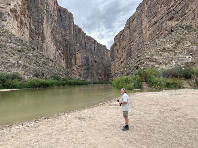
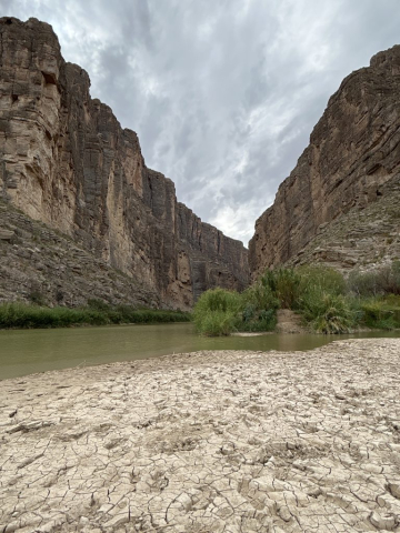
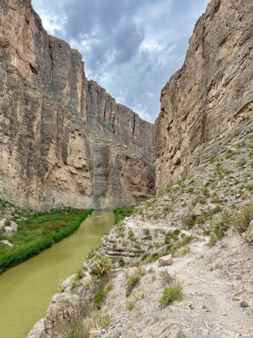
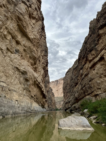
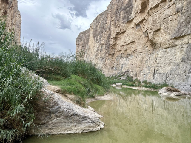
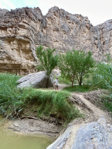
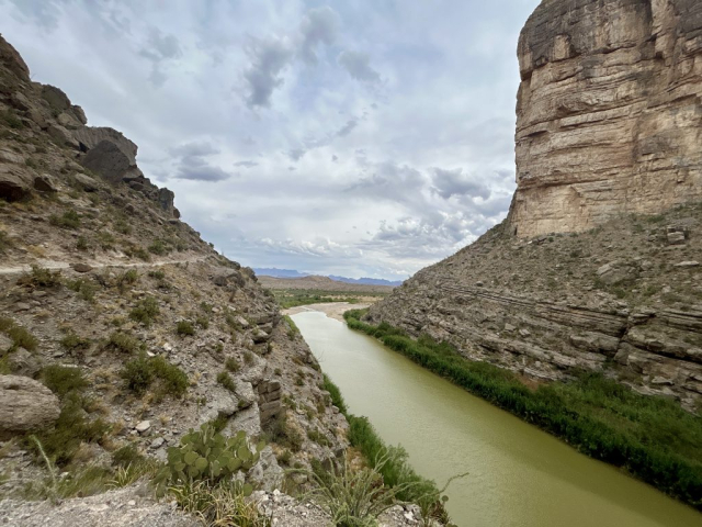
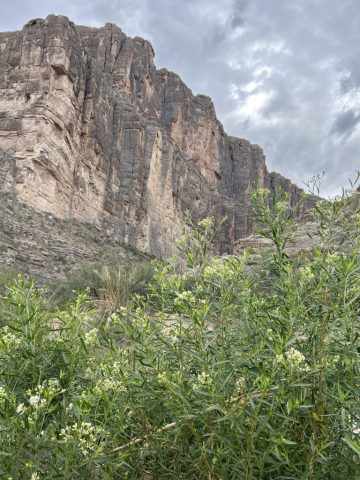
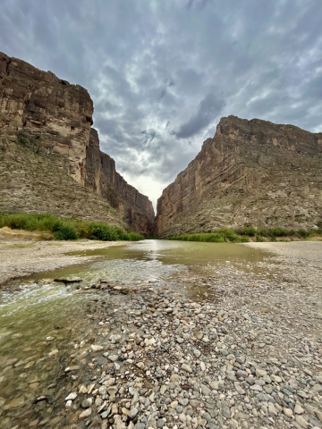
Of course, we couldn’t miss the fact that the sheer cliff walls soared to tremendous heights the closer we got. The end of the road was finally crowned by the massive 1,500-foot vertical fortifications of two mesas, the Mesa de Anguila on the northern (Texas) side, and the Sierra Ponce on the southern (Mexican) side, creating the Santa Elena Canyon. We’re here to tell you that Mother Nature really knew how to put on a Grand Finale for this one!!


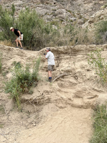
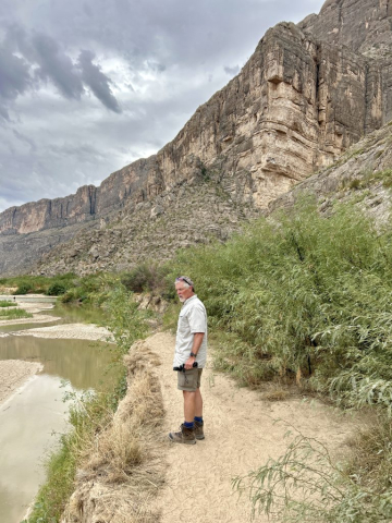
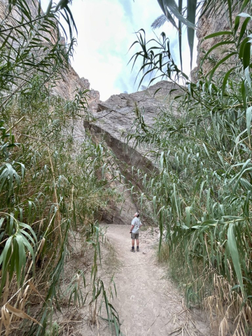
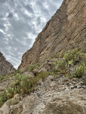
From this point, we began our walk! It’s an easy (~1.9 mile RT) hike, where only the beginning required us to scurry up (down on the return) the bank of the mostly-dry Terlingua Creek tributary, and then wend our way up a few switchbacks that the park service constructed, paved and provided handrails for. Catching our breath at the top, we began to notice that this natural bulwark, coupled with the river and alluvium creates, yet another, unique environment; this one, reminiscent of a humid subtropical climate. Plant life became more abundant, lush and varied the further we pushed into the canyon. Surprisingly, there was a noticeable increase in humidity, and we imagined that we’d walked straight into a Jurassic Park movie with giant grasses, including bamboo, towering above our heads. Turtles played in the water, and supposedly even beavers call the canyon home too. Finally, the exposed banks of the Rio Grande yielded to the stone cliffs and the river! We, again, didn’t bring any water shoes, so this was our turnaround point. With the experience majestically imprinted, we humbly made our way back, ready to cool off at our little sanctuary in the scorched land.
Our Hiking Stats:

Access the interactive Google Map and select the camera icons to view our photos from our hike. You can even change the “Base Map” to Satellite and get a real sense of our adventure!

Our Hiking Stats:

East Portion – Panther Junction
A Forced Rain Break Changes Everything
Rain in an arid locale is usually celebrated, unless it completely waylays one’s plans. Mercifully, it wasn’t a hard downpour, but even an on-and-off series of light rain was enough to keep us in camp (oh yay…laundry day). Unhappily, the last portion of our plan was tied to a schedule that was now out of reach. We discovered this fact only a few short days ahead of time when we were already committed to other quests. What were we missing out on?! Heading into Mexico straight from the park! We had readied our passports and we’d been getting excited about taking a very short boat ride (one guy and a very small boat) across the Rio Grande (umm, we probably could’ve walked across, but that would require bringing the proper shoes and we hadn’t been very good at remembering those thus far), disembarking on the banks of Mexico, and then hoping onto a few burros to ride to the tiny village of Boquillas del Carmen to spend the day! It would’ve been a blast!! But NO! Now that it was Tuesday, No Bueno!! Cerrado!! Our fun, but relaxing day, dissolved into a drive on the eastern side of the park, which further deflated when we realized that several more attractions were closed-off due to the slick, sucking mud that the dirt roads had turned into. We couldn’t even take the short hike to sit in the historic Langford Hot Springs on the bank of the Rio, nor hike into the Boquillas Canyon. Oh well. Next time!

What Was Open?
Thirsty Goat Saloon of course!! And it was time we tried it! So, Laura pointed the trike to the Lajitas Golf Resort which includes a retail boardwalk, restaurants, and the saloon. The courtyard was inviting, the beers were cold and the food was excellent! It got even better when a few other travelers joined us, and we got to yammering into the evening. They were from Texas, so again, we garnished a wealth of recommendations.
In the morning, it was time to pack up and leave the austere desert behind us to find water…or so we thought.
























SO . . . Maverick Ranch has its own cemetery, I noticed. And not too many campers. That didn’t seem to bother anyone??? A place of rest for weary hikers?! (grins) Glad you are having fun figuring out how to avoid being an illegal immigrant by NOT crossing the Rio Grande, and learning all about breaking and entering. And your visit to the Thirsty Goat makes me wonder if it’s a distant cousin to Madison’s Thirsty Goat (housed in a former Mexican restaurant). Love the photos, the smiles!
Oh dear sister-in-law of mine, you always put things in a new perspective!! Love it! Good thing we’ve always found cemeteries to be very comforting. Apparently the original “Thirsty Goat” is housed in a well known restaurant in the “ghost town” of Terlingua at the Starlight Theater. We attempted to have dinner there, yet similar to Fort Davis, we didn’t think reservations would be necessary in the middle of the week, in the middle of the desert. However, we were the lucky ones who inquired about a table right after they seated a party of 80…yes that is an 8 and a 0. We would’ve been hungry enough to eat the entire goat, had we waited. That is why we opted to roam right down the dirt road to DB’s Rustic Iron BBQ. You’d think we would learn, at some point, about reservations.
80! That’s some joint with space to seat 80 at once. As they say, timing is everything . . . I say keep doing what you’re doing. Life is a daring adventure or nothing (quote from Helen Keller).
It didn’t seem that large from our perspective, yet they did have a sizable outdoor patio. We’re pretty sure they would’ve taken over the whole place. Great quote! We’ll definitely shoot for the daring adventure while we can!
Those hikes should be easy considering where you two live. I remember basic training in USAF was San Antonio, Texas and after being raised in Glenwood, I was amazed at how much energy I had and breezed through the training. However, I was also 19!😂🙏🏼🇺🇸🤠
They were easy, which meant we could really enjoy the natural beauty in a more leisurely manner. Gave us the opportunity to see the major sights, peeling it’s layers one at a time.